搜索结果: 1-15 共查到“知识库 工学 Analysis”相关记录2522条 . 查询时间(0.262 秒)

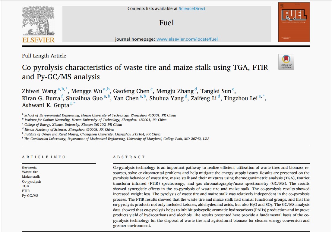
【论文发表】课题组在《Fuel》学术期刊发表论文Co-pyrolysis characteristics of waste tire and maize stalk using TGA, FTIR and Py-GC/MS analysis(图)
Co-pyrolysis characteristics waste tire maize stalk TGA FTIR Py-GC/MS analysis
2025/2/26
内容简介:共热解技术是实现废轮胎和生物质资源高效利用、解决环境问题、帮助缓解能源供应问题的重要途径。本研究利用热重分析(TGA)、傅里叶变换红外光谱(FTIR)和气相色谱/质谱(GC/MS)研究了废轮胎、玉米秸秆及其混合物的热解行为。结果表明,废轮胎与玉米秸秆之间的共热解具有协同作用。TGA分析结果表明在共热解过程中,玉米秸秆发生热解时间较早,所需的热解温度低于废轮胎,即温度低于380℃,玉米秸秆...

【论文发表】课题组在《Journal of Energy Resources Technology》学术期刊发表论文Products Distribution and Synergistic Effects Analysis During Co-Pyrolysis of Agricultural Residues and Waste Tire Using Gas Chromatography/ Mass Spectrometry(图)
Products Distribution Synergistic Effects Co-Pyrolysis Agricultural Residues Waste Tire
2025/2/26
内容简介:生物质与废旧轮胎的热化学转化是利用废弃资源生产可再生能源的重要方向。本研究采用热裂解-气相色谱/质谱联用仪(Py-GC/MS)分析了农林业剩余物和废轮胎共热解过程中的产物分布和协同效应。在550°C和650°C的条件下分析了玉米秸秆、小麦秸秆、废轮胎以及小麦秸秆-废轮胎(质量比为1:1)和玉米秸秆-废轮胎(质量比为1:1)的混合物的热解和共热解产物。结果表明农林业剩余物和废轮胎共热解促进...

【论文发表】课题组在《Journal of Energy Resources Technology》学术期刊发表论文Synergistic Effects and Kinetics in Co-Pyrolysis of Waste Tire with Five Agricultural Residues Using Thermogravimetric Analysis(图)
Synergistic Effects Kinetics Co-Pyrolysis Waste Tire Five Agricultural
2025/2/26
内容简介:随着社会流动性持续发展,废弃轮胎数量急剧增加,导致环境污染和资源浪费问题日益严重。与此同时,农业残留物作为一种可再生资源,近年来备受关注。进行废轮胎、农业残留物及其混合物的热化学转化研究具有重要前景,不仅可以提供能源安全,还可显著减少环境影响。本研究使用热重分析法,在不同加热速率下将废轮胎与玉米秸秆、小麦秸秆、棉秸秆、油菜秸秆和花生壳等农业残留物按1:1质量比共热解进行深入研究。采用Fl...
Network Degradation Assessed by Evolved Gas Analysis-Mass Spectrometry Combined with Principal Component Analysis (EGA-MS-PCA): A Case of Thermo-Oxidized Epoxy/Amine Network
ULTRAVIOLET-IRRADIATION MECHANICAL-PROPERTIES BUTADIENE RUBBER EPOXY-RESINS TEMPERATURE PYROLYSIS COATINGS TRANSITION OXIDATION SCISSION
2023/11/16
To study the degradation of thermosetting polymers, we apply a novel method to simultaneously study the chemical structural changes and network topology: evolved gas analysis-mass spectrometry combine...
Analysis of atmospheric visibility degradation in early haze based on the nucleation clustering model
Early haze Initial nucleation process Heterogeneous cluster Visible-light absorption
2023/3/1
The initial nucleation of ultrafine particle recently attracts more attention as a key factor in visibility degradation during early haze. In this study, we have performed Density Functional Theory (D...
WOODEN TRUSSES RECONSTRUCTION AND ANALYSIS THROUGH PARAMETRIC 3D MODELING
Building heritage Terrestrial Laser Scanning Generative algorithms Structural systems reverse engineering Cloud to 3D model comparison
2019/3/4
This paper aims to indicate a new methodological approach, based on generative algorithms, to attempt a more in-depth and transversal understanding of the behavior of these wooden structures. The deve...
PARAMETRICAL ANALYSIS AND DIGITAL FABRICATION OF THIN SHELL STRUCTURES: THE IMPACT OF CONSTRUCTION TECHNIQUE ON THE RESULTING GEOMETRY OF THE GAUSSIAN VAULTS OF ELADIO DIESTE
Gaussian Vaults Eladio Dieste Geometry
2019/3/2
The objective of this article is to analyze the state-of-art regarding the construction process of the Gaussian Vaults of the Uruguayan civil engineer Eladio Dieste and to identify the elements that u...
INTEGRATED 3D SURVEY AND DIAGNOSTIC ANALYSIS FOR THE BUILDING ENGINEERING: THE FORMER KINDERGARTEN SAN FILIPPO NERI IN DALMINE
Dalmine Former kindergarten San Filippo Neri Integrated Architectural Survey
2019/3/1
The paper aims to emphasise the positive contribution that the 3D laser scanning and digital photogrammetry survey, integrated with diagnostic analysis techniques, can make in the field of constructio...
COMBINED ANALYSIS OF RADARSAT-2 SAR AND SENTINEL-2 OPTICAL DATA FOR IMPROVED MONITORING OF TUBER INITIATION STAGE OF POTATO
Crop dynamics Potato SAR RADARSAT-2 Sentinel-2 Red edge
2019/2/27
Tuber initiation and tuber bulking stages are critical part of various phenological phases for potato production. Tuber initiation covers the period from the formation of spherical rhizome ends, the f...
MULTITEMPORAL ANALYSIS OF FOREST COVER CHANGE USING REMOTE SENSING AND GIS OF KANHA TIGER RESERVE, CENTRAL INDIA
Forest LULC Livelihood Climate Change Adaptation
2019/2/27
Forest ecosystems play a key role in global ecological balance and provide a variety of tangible and intangible ecosystem services that support the livelihoods of rural poor. In addition to the anthro...
A WEB-BASED VIRTUAL LABORATORY FOR SATELLITE IMAGE PROCESSING AND ANALYSIS
Education Satellite Image Processing E-Learning Tool Web-based Virtual Laboratory
2019/2/27
With continuous increase in the utilization of satellite images in various engineering and science fields, it is imperative to equip students with additional educational aid in subject of satellite im...
ROAD NETWORK IDENTIFICATION AND EXTRACTION IN SATELLITE IMAGERY USING OTSU'S METHOD AND CONNECTED COMPONENT ANALYSIS
Road identification road extraction Otsu's method connected component analysis morphological operations
2019/2/27
As the high resolution satellite images have become easily available, this has motivated researchers for searching advanced methods for object detection and extraction from satellite images. Roads are...
VULNERABILITY MAPPING AND ANALYSIS: AN IMPLEMENTATION IN GEOHAZARD AREAS IN SABAH
Landslide vulnerability Geospatial Landslide risk
2018/11/9
Vulnerability identifies the element-at-risk as well as the evaluation of their relationships with the hazard. The relationships relate the landslide potential damages over a specific element-at-risk....
AN ANALYSIS TO INVESTIGATE SPATIAL COGNITIVE FACTORS WHICH INFLUENCE CYCLING PATTERNS IN JOHANNESBURG
Multi-modal Cycling Spatial Cognition Johannesburg Smart cities
2018/11/9
Cycling in most African cities is done as either a mode of commuting or for recreational purposes. Apart from Smart cities encouraging a shift from cars to public transport by providing efficient last...
HISTORICAL SDI, THEMATIC MAPS AND ANALYSIS OF A COMPLEX NETWORK OF MEDIEVAL TOWERS (13TH–15TH CENTURY) IN THE MOORISH STRIP
GIS, Historical SDI, Spatial Data Analysis, Visibility, Medieval heritage, Towers of Moorish Strip
2018/11/9
This work is part of an investigation into the use of GIS for the documentation and comprehension of medieval architectural heritage in the ancient Kingdom of Seville. The research was done in the fra...


