
搜索结果: 1-15 共查到“测绘科学技术 systems”相关记录196条 . 查询时间(0.323 秒)
Ayman F.Habib教授作“Mobile Mapping Systems for Accurate Documentation of Transportation Corridors”报告(图)
Ayman F.Habib教授 土木工程学 数字摄影测量 美国摄影测量与遥感学会
2022/8/29
2021年12月23日上午,由测绘与空间信息学院主办的第11期智“绘”讲堂在第一会议室成功举办。本期智“绘”讲堂邀请到美国摄影测量与遥感学会(ASPRS)和加拿大地球空间信息学会(CIG)会员、美国普渡大学土木工程学院教授、数字摄影测量课题组组长、首席科学家Ayman F. Habib教授作了题为“Mobile Mapping Systems for Accurate Documentation ...

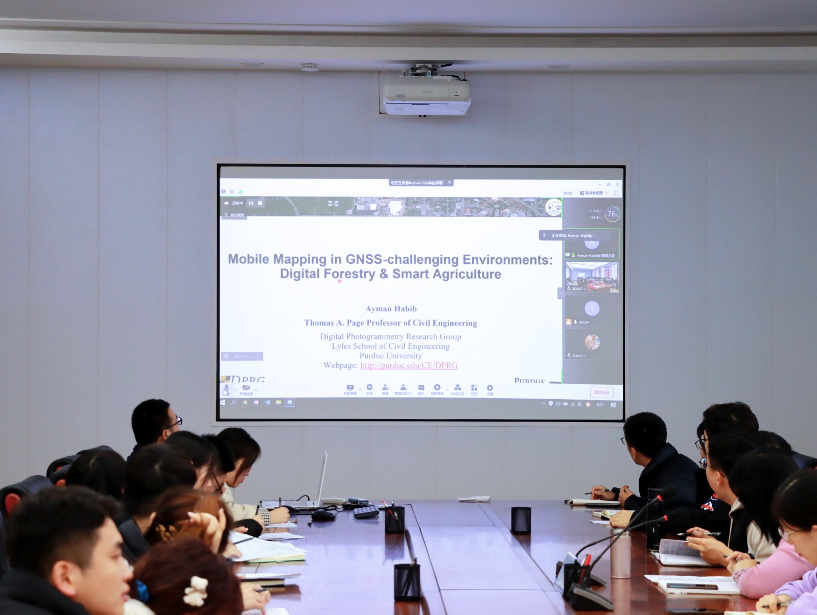
Ayman F. Habib 教授来山东科技大学测绘与空间信息学院作“Mobile Mapping Systems: Demonstrated Technology that Keeps Evolving”专题讲座(图)
山东科技大学测绘与空间信息学院 交通运输管理 遥感学会
2022/8/29
2021年12月17日上午,由测绘与空间信息学院主办的智“绘”讲堂在J6第一会议室和434报告厅成功举办。本期智“绘”讲堂邀请到美国摄影测量与遥感学会(ASPRS)和加拿大地球空间信息学会(CIG)会员、美国普渡大学土木工程学院教授、数字摄影测量课题组组长、首席科学家Ayman F. Habib教授作了题为“Mobile Mapping Systems: Demonstrated Technolo...
THE URBAN HERITAGE CHARACTERIZATION USING 3D GEOGRAPHIC INFORMATION SYSTEMS. THE SYSTEM OF MEDIUM-SIZED CITIES IN ANDALUSIA
Cultural Heritage Intermediate Cities Urban and Territorial Studies Urban Parameters
2018/11/9
The primary objective of this paper is to approach the use of the 3D Geographic Information Systems (3D GIS), as an instrumental tool that allows us to deal efficiently with the extensive amount of in...
COMBINING INDEPENDENT VISUALIZATION AND TRACKING SYSTEMS FOR AUGMENTED REALITY
augmented reality pose estimation tracking calibration visualization
2018/6/4
The basic requirement for the successful deployment of a mobile augmented reality application is a reliable tracking system with high accuracy. Recently, a helmet-based inside-out tracking system whic...
第4届地理信息系统理论,应用和管理国际会议(The International Conference on Geographical Information Systems Theory, Applications and Management)
第4届 地理信息系统理论,应用和管理 国际会议
2017/12/20
The International Conference on Geographical Information Systems Theory, Applications and Management aims at creating a meeting point of researchers and practitioners that address new challenges in ge...
AN EFFICIENT METHOD TO CREATE DIGITAL TERRAIN MODELS FROM POINT CLOUDS COLLECTED BY MOBILE LiDAR SYSTEMS
Mobile systems point cloud Digital Terrain Models LiDAR Delaunay triangulation Laplacian operator
2017/7/12
The digital terrain models (DTM) assume an essential role in all types of road maintenance, water supply and sanitation projects. The demand of such information is more significant in developing count...
ON THE DESIGN OF HIGH RESOLUTION IMAGING SYSTEMS
Digital High resolution Sensor systems Satellite Modelling Design Space Technology
2017/7/12
The design of high-resolution systems is always a consideration of many parameters. Technological parameter of the imaging system, e.g. diameter of the imaging system, mass and power, as well as stora...
2017SPIE传感器,系统和下一代卫星专题会议(Sensors,Systems,and Next-Generation Satellites)
2017 SPIE 传感器,系统和下一代卫星 专题会议
2017/4/26
Many new remote sensing programs are under way throughout the world, in the U.S., Europe Japan, and elsewhere. NASA's Earth Science Division is developing and implementing a broad range of Earth space...
2017 SPIE 传感器,系统和下一代卫星专题会议(Sensors, Systems, and Next-Generation Satellites)
2017 SPIE 传感器 系统 下一代卫星 专题会议
2017/4/25
Many new remote sensing programs are under way throughout the world, in the U.S., Europe Japan, and elsewhere. NASA's Earth Science Division is developing and implementing a broad range of Earth space...
第3届地理信息系统理论,应用和管理国际会议(The International Conference on Geographical Information Systems Theory,Applications and Management)
第3届 地理信息系统理论,应用和管理 国际会议
2017/1/20
The International Conference on Geographical Information Systems Theory, Applications and Management aims at creating a meeting point of researchers and practitioners that address new challenges in ge...
SCHISTOSOMIASIS:GEOSPATIAL SURVEILLANCE AND RESPONSE SYSTEMS IN SOUTHEAST ASIA
Neglected tropical diseases (NTD) surveillance and response schistosomiasis elimination
2016/12/1
Geographic information system (GIS) and remote sensing (RS) from Earth-observing satellites offer opportunities for rapid assessment of areas endemic for vector-borne diseases including estimates of p...
MODELLING LANDSCAPE MORPHODYNAMICS BY TERRESTRIAL PHOTOGRAMMETRY:AN APPLICATION TO BEACH AND FLUVIAL SYSTEMS
Monitoring Terrestrial photogrammetry 3D point cloud Morphological changes Digital Elevation Model (DEM) Structure-from-Motion (SfM)
2016/12/1
Beach and fluvial systems are highly dynamic environments, being constantly modified by the action of different natural and anthropic phenomena. To understand their behaviour and to support a sustaina...
COMPARISON OF UNCALIBRATED RGBVI WITH SPECTROMETER-BASED NDVI DERIVED FROM UAV SENSING SYSTEMS ON FIELD SCALE
Remote Sensing UAV agriculture Yara N-Sensor winter wheat nitrogen vegetation index hyperspectral RGB
2016/12/1
The development of UAV-based sensing systems for agronomic applications serves the improvement of crop management. The latter is in the focus of precision agriculture which intends to optimize yield, ...
FUSION OF LASER ALTIMETRY DATA WITH DEMS DERIVED FROM STEREO IMAGING SYSTEMS
Ice Sheet Surface Elevation Changes Fusion System Mass Balance Changes
2016/11/30
During the last two decades surface elevation data have been gathered over the Greenland Ice Sheet (GrIS) from a variety of different sensors including spaceborne and airborne laser altimetry, such as...
ALGORITHMS FOR RELATIVE RADIOMETRIC CORRECTION IN EARTH OBSERVING SYSTEMS “RESOURCE-P” AND “CANOPUS-V”
Pushbroom And Matrix Imagery Instruments Relative Radiometric Correction Reference Calibration Images
2016/11/15
The present paper has considered two algorithms of the relative radiometric correction of information obtained from a multimatrix imagery instrument of the spacecraft “Resource-P” and frame imagery sy...