搜索结果: 1-15 共查到“工学 mobile mapping”相关记录71条 . 查询时间(0.272 秒)

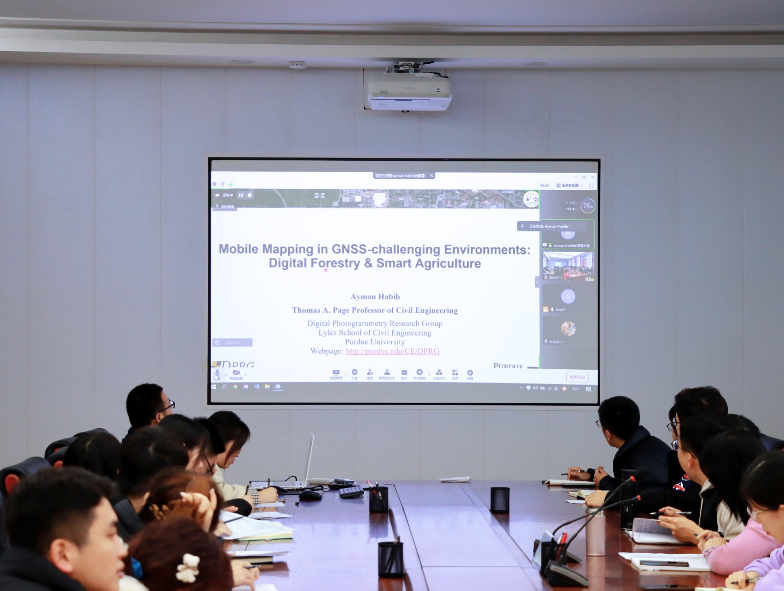
Ayman F.Habib教授作“Mobile Mapping Systems for Accurate Documentation of Transportation Corridors”报告(图)
Ayman F.Habib教授 土木工程学 数字摄影测量 美国摄影测量与遥感学会
2022/8/29
2021年12月23日上午,由测绘与空间信息学院主办的第11期智“绘”讲堂在第一会议室成功举办。本期智“绘”讲堂邀请到美国摄影测量与遥感学会(ASPRS)和加拿大地球空间信息学会(CIG)会员、美国普渡大学土木工程学院教授、数字摄影测量课题组组长、首席科学家Ayman F. Habib教授作了题为“Mobile Mapping Systems for Accurate Documentation ...

Ayman F. Habib 教授来山东科技大学测绘与空间信息学院作“Mobile Mapping Systems: Demonstrated Technology that Keeps Evolving”专题讲座(图)
山东科技大学测绘与空间信息学院 交通运输管理 遥感学会
2022/8/29
2021年12月17日上午,由测绘与空间信息学院主办的智“绘”讲堂在J6第一会议室和434报告厅成功举办。本期智“绘”讲堂邀请到美国摄影测量与遥感学会(ASPRS)和加拿大地球空间信息学会(CIG)会员、美国普渡大学土木工程学院教授、数字摄影测量课题组组长、首席科学家Ayman F. Habib教授作了题为“Mobile Mapping Systems: Demonstrated Technolo...
CLASSIFICATION OF POLE-LIKE OBJECTS USING POINT CLOUDS AND IMAGES CAPTURED BY MOBILE MAPPING SYSTEMS
Mobile Mapping System Point-Cloud Pole-Like Object Machine Learning Convolutional Neural Network
2018/6/4
The vehicle-based mobile mapping system (MMS) is effective for capturing 3D shapes and images of roadside objects. The laser scanner and cameras on the MMS capture point-clouds and sequential digital ...
INVESTIGATION OF GEOMETRIC PERFORMANCE OF AN INDOOR MOBILE MAPPING SYSTEM
Mobile Laser Scanning Evaluation Viametris iMS3D Point Cloud Indoor Modeling
2018/6/4
Up-to-date and reliable 3D information of indoor environments is a prerequisite for many location- based services. One possibility to capture the necessary 3D data is to make use of Mobile Mapping Sys...
A GUIDED REGISTRATION STRATEGY EMPLOYING VIRTUAL PLANES TO OVERCOME NON-STANDARD GEOMETRIES – USING THE EXAMPLE OF MOBILE MAPPING AND AERIAL OBLIQUE IMAGERY
Mobile Mapping Feature Matching Image Orientation Oblique Imagery
2018/6/4
Mobile mapping (MM) is an intriguing as well as emerging platform and technology for geo-data acquisition. In typical areas of interest for MM campaigns, such as urban areas, unwanted GNSS multipath, ...
INDOOR AND OUTDOOR MOBILE MAPPING SYSTEMS FOR ARCHITECTURAL SURVEYS
mobile mapping image-based survey GPS data processing
2018/6/4
This paper presents the results of architectural surveys carried out with mobile mapping systems. The data acquired through different instruments for both indoor and outdoor surveying are analyzed and...
3D MOBILE MAPPING WITH A LOW COST UAV SYSTEM
imagery data Inertial Measurement Unit low cost UAV mobile mapping multi-sensor
2018/3/5
In order to accomplish the automatic mobile mapping task in a small area of interest, a low cost UAV system is proposed in this paper. Multiple sensors including a global shutter camera and an inertia...
FULLY AUTOMATIC FEATURE-BASED REGISTRATION OF MOBILE MAPPING AND AERIAL NADIR IMAGES FOR ENABLING THE ADJUSTMENT OF MOBILE PLATFORM LOCATIONS IN GNSS-DENIED URBAN ENVIRONMENTS
Mobile Mapping Feature Matching Image Orientation Adjustment
2017/7/12
Mobile Mapping (MM) has gained significant importance in the realm of high-resolution data acquisition techniques. MM is able to record georeferenced street-level data in a continuous (laser scanners)...
A LASER-SLAM ALGORITHM FOR INDOOR MOBILE MAPPING
SLAM Bayes Filter Graph Optimization Sub-maps Virtual Landmark Indoor Mobile Mapping
2016/11/8
A novel Laser-SLAM algorithm is presented for real indoor environment mobile mapping. SLAM algorithm can be divided into two classes, Bayes filter-based and graph optimization-based. The former is oft...
AUTOMATIC ROAD SIGN INVENTORY USING MOBILE MAPPING SYSTEMS
Mobile Mapping System Point cloud segmentation Road sign inventory Image processing Classification
2016/7/28
The periodic inspection of certain infrastructure features plays a key role for road network safety and preservation, and for developing optimal maintenance planning that minimize the life-cycle cost ...
CENTIMETER-LEVEL, ROBUST GNSS-AIDED INERTIAL POST-PROCESSING FOR MOBILE MAPPING WITHOUT LOCAL REFERENCE STATIONS
Differential GNSS Sensor Orientation Mobile Mapping GNSS-Aided Inertial Georeferenicng Airborne Mapping Direct Geroeferencing PPP
2016/7/28
For almost two decades mobile mapping systems have done their georeferencing using Global Navigation Satellite Systems (GNSS) to measure position and inertial sensors to measure orientation. In order ...
FAST DRAWING OF TRAFFIC SIGN USING MOBILE MAPPING SYSTEM
Traffic Sign Fast Drawing Coarse Prediction Mobile Mapping System (MMS)
2016/7/28
Traffic sign provides road users with the specified instruction and information to enhance traffic safety. Automatic detection of traffic sign is important for navigation, autonomous driving, transpor...
THE IQMULUS URBAN SHOWCASE:AUTOMATIC TREE CLASSIFICATION AND IDENTIFICATION IN HUGE MOBILE MAPPING POINT CLOUDS
Mobile mapping big data classification trees cloud computing web-based visualization
2016/7/27
Current 3D data capturing as implemented on for example airborne or mobile laser scanning systems is able to efficiently sample the surface of a city by billions of unselective points during one worki...
A METHOD OF GENERATING PANORAMIC STREET STRIP IMAGE MAP WITH MOBILE MAPPING SYSTEM
Mobile Mapping System Omni-Directional Camera Laser Point Cloud Street-Side Map Image Stitching
2016/7/5
This paper explores a method of generating panoramic street strip image map which is called as “Pano-Street” here and contains both sides, ground surface and overhead part of a street with a sequence ...
ACCURACY ASSESSMENT OF MOBILE MAPPING POINT CLOUDS USING THE EXISTING ENVIRONMENT AS TERRESTRIAL REFERENCE
Accuracy Assessment Mobile Mapping Point Cloud Reference Data Total Station 3D Test Field Facades Street profile
2016/7/5
Mobile mapping data is widely used in various applications, what makes it especially important for data users to get a statistically verified quality statement on the geometric accuracy of the acquire...


